
41 Tehama Street, San Francisco
Saloon keeper, music teacher, stableman, blacksmith, candy maker. These were just a few of the occupations of the people who lived on Tehama Street in San Francisco nearly 150 years ago.

Historic Properties Destroyed in 2015 Butte Fire
In November of 2015, Julia Costello and Judith Marvin of Foothill Resources, and Gerrit Fenenga, CAL FIRE Senior State Archaeologist, identified over two dozen archaeological sites along roads within areas burned by the recent Butte Fire.

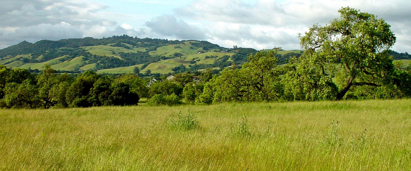
Climate Change at Point Reyes
The Anthropological Studies Center of Sonoma State University has undertaken a study of the potential effects of climate change on indigenous archaeological sites at Point Reyes National Seashore.

Nearly Neighbors: High Street Seismic Retrofit Project in Oakland, California
This report presents the results of archaeological excavations carried out in 2008 and 2010 by both Anthropological Studies Center and Caltrans archaeologists, in connection with Caltrans' High Street Overhead Seismic Retrofit Project, in Oakland, California.

Japantown Senior Apartments
Archaeological testing and evaluation studies carried out in 2008 and 2009 identified two cultural deposits eligible to California Register of Historical Resources (CRHR) within the Japantown Senior Apartments Project site on the west side of Sixth Street in San José

Merrie Way Concession Stands
The Merrie Way Stands Site is associated with a row of concession stands that sold food, beverages, and (presumably) souvenirs that served the Sutro Pleasure Grounds amusement park.

HARD (Historical Archaeological Research Design)
Caltrans contracted with the Anthropological Studies Center at Sonoma State University to prepare archaeological research designs for mining sites, work camps, and town sites.

South of Market: Historical Archaeology of 3 San Francisco Neighborhoods-Volume I
Seismic upgrades to the West Approach of the San Francisco Bay Bridge required an archaeological sensitivity study of 6 city blocks. Delve into the history and archaeology of this San Francisco neighborhood in this two-volume report. Volume I covers chapters 1-6.
South of Market: Historical Archaeology of 3 San Francisco Neighborhoods-Volume II
Seismic upgrades to the West Approach of the San Francisco Bay Bridge required an archaeological sensitivity study of 6 city blocks. Delve into the history and archaeology of this San Francisco neighborhood in this two-volume report. Volume II covers chapters 7-11

Miner Channel, Stockton
ASC archaeologists tested and excavated lots on a Stockton city block in 2000.