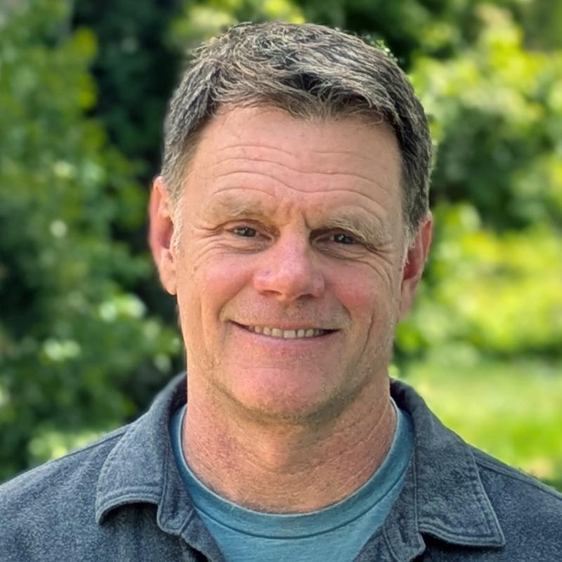
Bryan Mischke
Archaeologist/ GIS Specialist

Contact
Education: B.A. Anthropology, University of Oregon, 1992
Experience: 28 years in archaeology, 19 years with ASC
BRYAN MISCHKE is a GPS (Global Positioning System) and GIS (Geographic Information Systems) specialist with ASC. He is responsible for developing and maintaining GIS databases from multiple data sources including GPS and Total Station data for historic and prehistoric archaeological sites, georeferenced historic maps, and raster- and vector-based coverages. He uses these GIS databases to perform spatial analysis, modeling and geo-processing, and to produce large format display maps and graphics. He is experienced in ESRI ArcGIS and ArcView software, and in the application of Trimble GPS and Total Station equipment to mapping archaeological sites. In addition, Mr. Mischke has extensive experience as an archaeological field technician, and is skilled in survey, excavation, monitoring, and site recording for both prehistoric and historic-era archaeological sites. Mr. Mischke has completed a CAL-OSHA approved 40-hour Hazardous Waste Site Worker's Health and Safety Training program.

