
3D Scanning/Printing
Our staff and students are involved in the development of several forms of advanced spatial analysis, 3D modeling, and remote sensing. This includes a wide range of approaches to archaeological predictive modeling, handheld and remotely-operated photogrammetry and terrain modeling, immersive and photorealistic 3D model development, agent-based and multi-agent simulation, and augmented reality. These techniques are carried out with GIS and other technical software such as Agisoft's Photoscan, Autodesk's 3D Studio Max, Planetside's Terragen, MeshLab, Unity, NetLogo, and the Adobe Creative Suite.
Students in the Cultural Resources Management M.A. program also have access to Sonoma's Makerspace, which among other equipment features 3D scanning and printing technology.
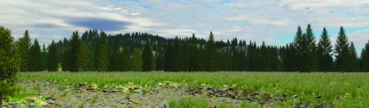
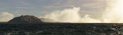
terrain modeling software.