GIS/Technology Services
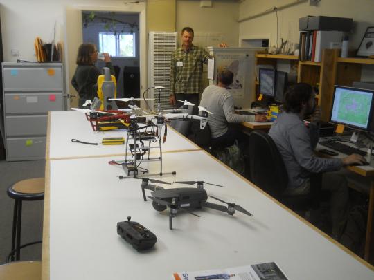
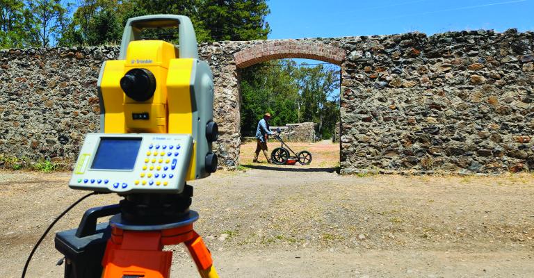
ASC's Archaeological Technology Lab maintains equipment, collects field data, processes and analyzes data and prepares report graphics and spatial data. Nearly all projects carried out by the ASC use tools from the Lab, with size and scope ranging from small residential lot surveys to large monitoring projects following natural disasters to the excavation of a prehistoric archaeological site in Butte County.
We use the latest versions of Geographic Information Systems (GIS), Computer-Aided Design (CAD), aerial imagery and remote sensing, photo/video editing, Structure from Motion (SFM) photogrammetry, immersive/augmented reality, and both object-editable and photorealistic 3D modeling software to carry out advanced spatial analysis and create interactive and interpretive digital solutions. Notable efforts in this area include extensive experience in large-scale archaeological predictive modeling across many environments in North America, as well as recent research into recreating 3D photorealistic environments in submerged coastal settings to assess the effects of sea-level rise both prehistorically and into the future as the result of climate change. Innovative digital technologies are being employed in many aspects of both CRM and environmental resource management.
Importantly, the Technology Lab allows students to become proficient using instruments and software considered standards in CRM and industry at large. Both ASC projects and SSU internships provide students with hands-on training from office to field and back to the office.


